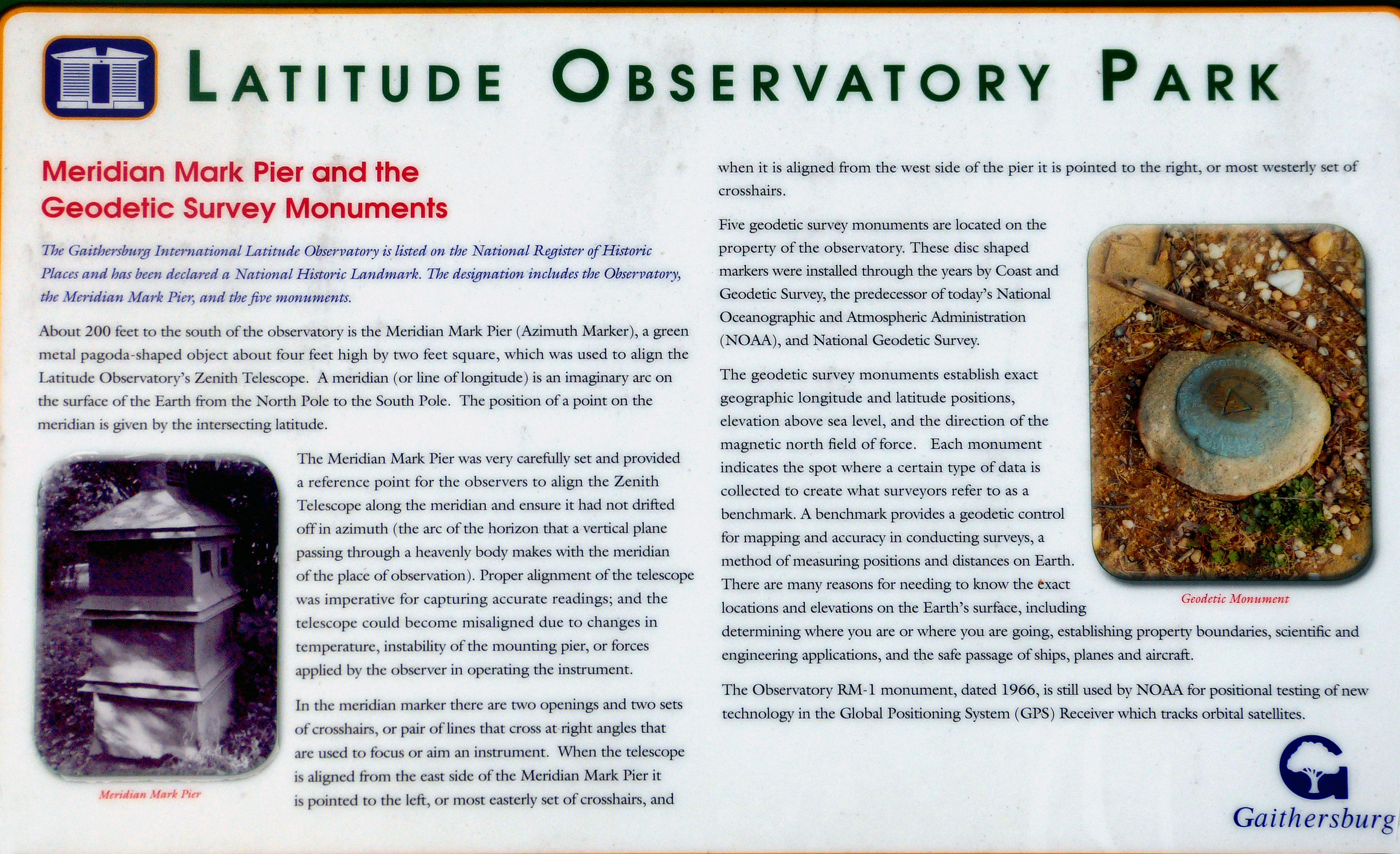
Latitude Observatory Park
The Meridian Mark Pier and Geodetic Survey Monuments
The Gaithersburg International Latitude Observatory is listed on the National Register of Historic places and has been declared a National Historic Landmark. The designation includes the Observatory, the Meridian Mark Pier, and the five monuments.
About 200 feet to the south of the Observatory is the Meridian Mark Pier (Azimuth Marker), a green metal pagoda-shaped object about four feet high by two feet square, which is used to align the Latitude Observatories Zenith Telescope. A meridian (or line of longitude) is an imaginary arc on the suface of the Earth from the North Pole to the South Pole. The position on the meridan is given by the intersecting latitude.
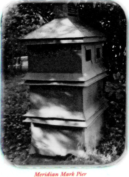
>The Meridian Mark Pier was very carefully set and provided a reference point for the observers to align the Zenith Telescope along the meridian and ensure it had not drifted off in azmuth (the arc of the horizen that a vertical plane passing through a heavenly body makes with the meridian of the place of observation). Proper alignment of the telescope was imperative for capturing accurate readings; and the telescope could become misaligned due to changes in the temperature, instability of the mounting pier, or forces applied by the observer in operating the intrument.
In the meridian marker there are two openings and two sets of crosshairs, or pair of lines that cross at right angles that are used to focus or aim the instrument. When the telescope is aligned from the east side of the Meridian Mark Pier it is pointed to the left, or most easterly set of crosshairs, and when it is aligned from the west side of the pier it is pointed to the right, or most westerly set of crosshairs.
Five Geodetic survey monuments are located on the property of the observatory. These disc shaped markers were installed through the years by Coast and Geodetic Survey, the predicessor of today's National Oceanic and Atmospheric Administration (NOAA), and the National Geodetic Survey.
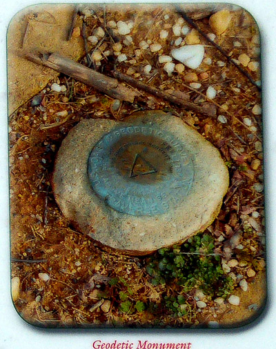
The geodetic survey monuments establish exact geographic longitude and latitude positions, elevation above sea level, and the direction of the magnetic field of force. Each monument indicates the spot where a certain type of data is collected to create what surveyors refer to as a benchmark. A benchmark provides a geodetic control for mapping and accuracy in conducting surveys, a method of measuring positions and distances on Earth. There are many reasons for needing to know the exact locations and elevations on the Earth's surface, including determining where you are or where you are going, establishing property boundaries, scientific and engineering applications, and the safe passage of ships, planes and aircraft.
The Observatory RM-1 monument dated 1966, is still used by NOAA for position testing of new technology in the Global Positioning System (GPS) Reciever with tracks orbital satellites.
Location: N 39.13622, W 77.19876