Latitude Observatory Park
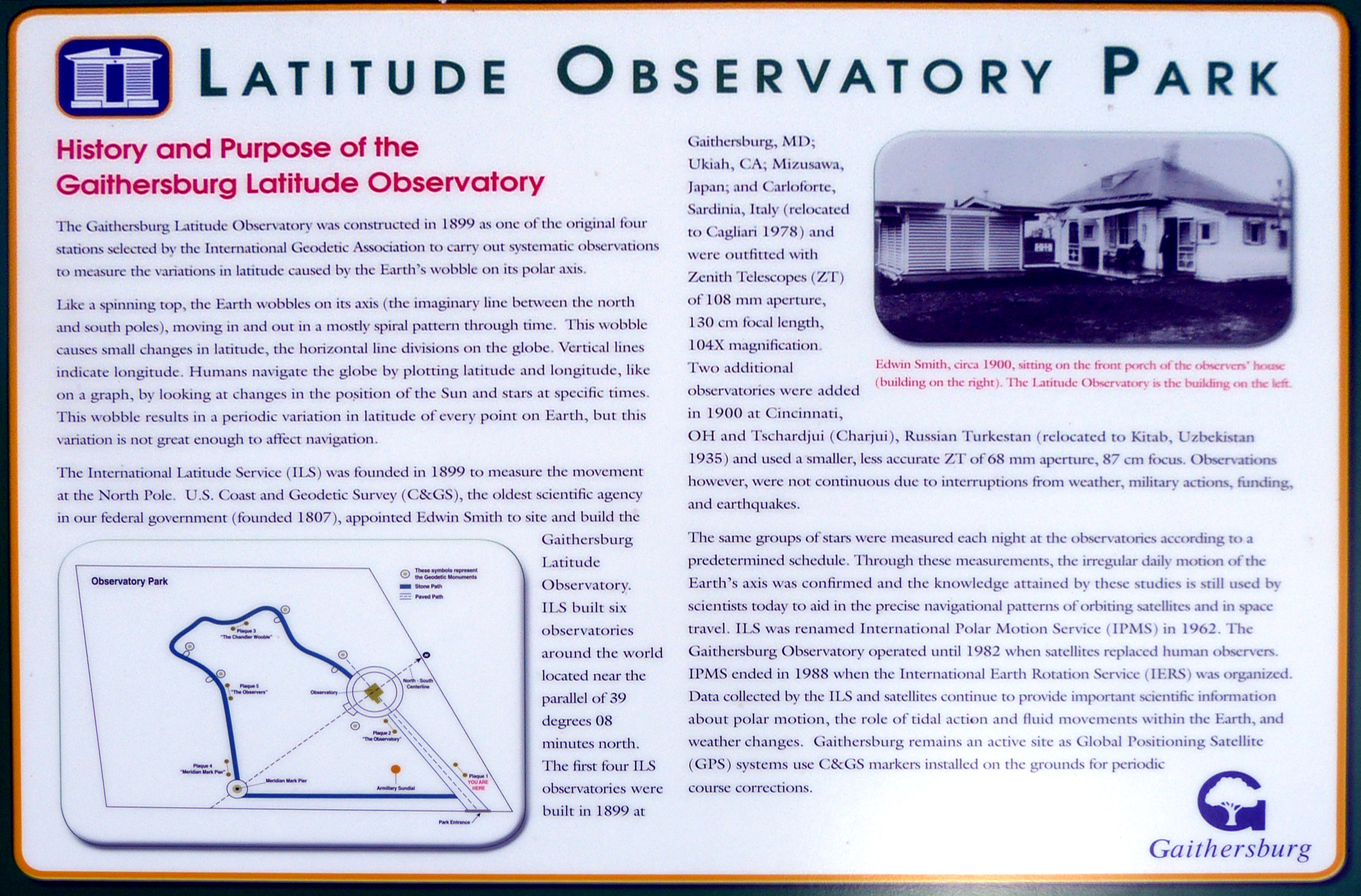
History and Purpose of the Gaithersburg Latitude Observatory
The Gaithersburg Latitude Observatory was constructed in 1899 as one of the original four stations selected by the International Geodetic Association to carry out systematic observations to measure the variations in latitude cause by the Earth's wobble on its polar axis.
Like spinning top, the Earth wobbles on its axis (the imaginary line between the north and south poles), moving in and out in a mostly spiral pattern through time. This wobble causes small changes in latitude, the horizontal line divisions of the globe.Vertical lines indicate longitude. Humans navigate the globe by plotting latitude and longitude, like on a graph, by looking at changes in the position of the Sun and stars at specific times. This wobble results in periodic variation in latitude of every point on Earth, but this variation is not great enough to affect navigation.
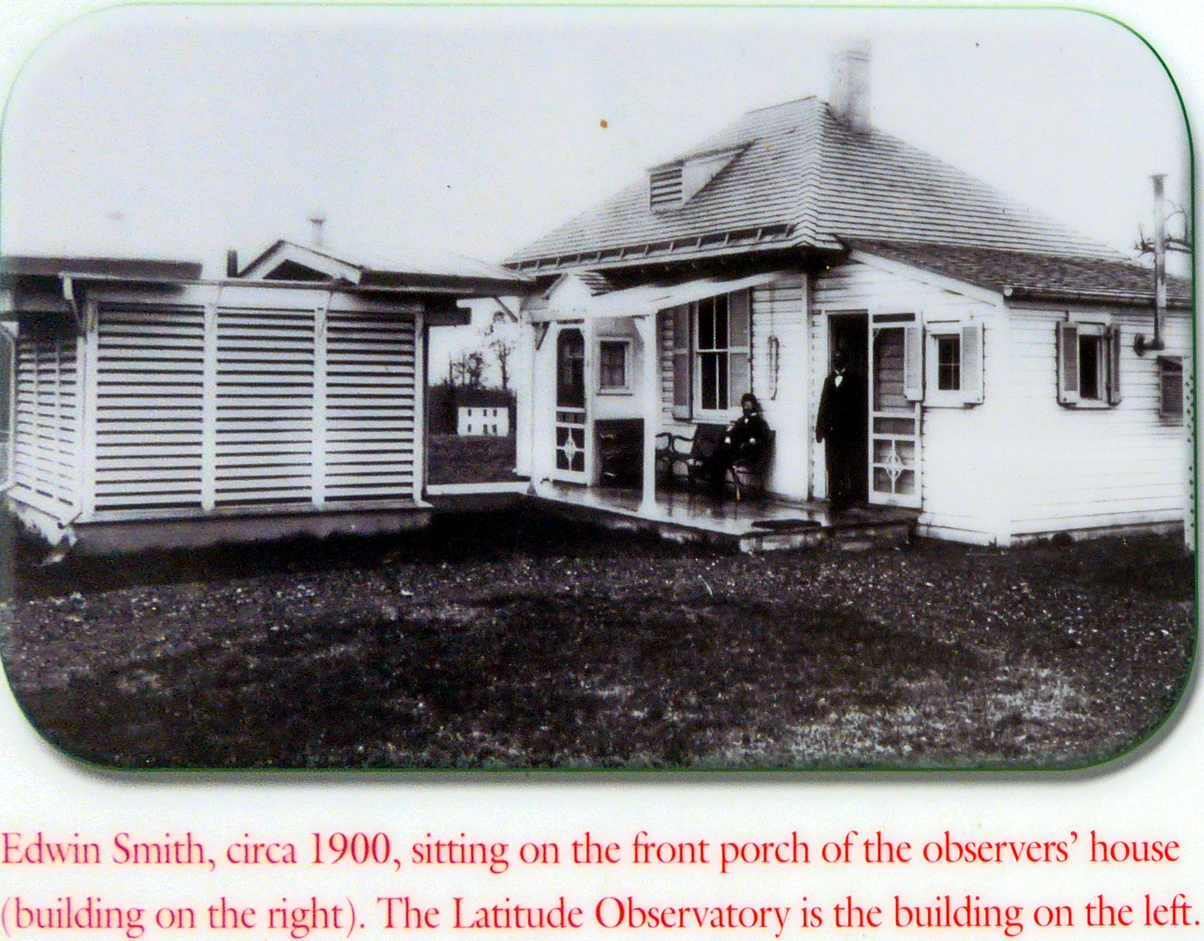
The International Latitude Service (ILS) was founded in 1899 to measure the movement at the North Pole. U.s. Coast and Geodetic Survey (C&GS), the oldest scientific agency in our federal government (founded 1807), appointed Edwin Smith to site and build the Gaithersburg Latitude Observatory. ILS built six observatories around the world located near the parallel of 39 degrees 08 minutes north. The first four ILS observatories were built in 1899 at Gaithersburg, MD; Ukiah, CA; Mizusawa, Japan; and Carloforte, Sardinia, Italy (relocated to Cagliari in 1978) and were outfitted with Zenith Telescopes (ZT) of 108 mm focal length,104X magnification. Two additional observatories were added in 1990 at Cincinnati OH and Tscharjui (Charjui), Russian Turkestan (relocated to Kitab,Uzbekistan 1935) and used smaller less accurate ZT of 68mm apertur, 87 cm focus. Observations however, were not continuous due to interruptions from weather, military actions, funding, and earthquakes.
The same groups of stars were measured each night at the observatories according to a predetermined schedule. Through these measurements, the irregular daily motion of the Earth's axis was confirmed and the knowledge attained by the studies is still used by scientists today to aid in the precise navigational patterns of orbiting staellites and in space travel. ILS was renamed International Polar Motion Service (IPMS) in 1962. The Gaithersburg Observatory operated until 1982 when satellites replaced human observers. IPMS ended in 1988 when the International Earth Rotation Service (IERS) was organized. Data collected by the ILS and satellites continue to provide important scientific information about polar motion, the role of tidal action and fluid movements within the Earth, and weather changes. Gaithersburg remains an active site as Global Positioning Satellite (GPS) systems use C&GS markers installed in the grounds for periodic course corrections.
Location: N 39.13674, W 77.19827