Latitude Observatory Park
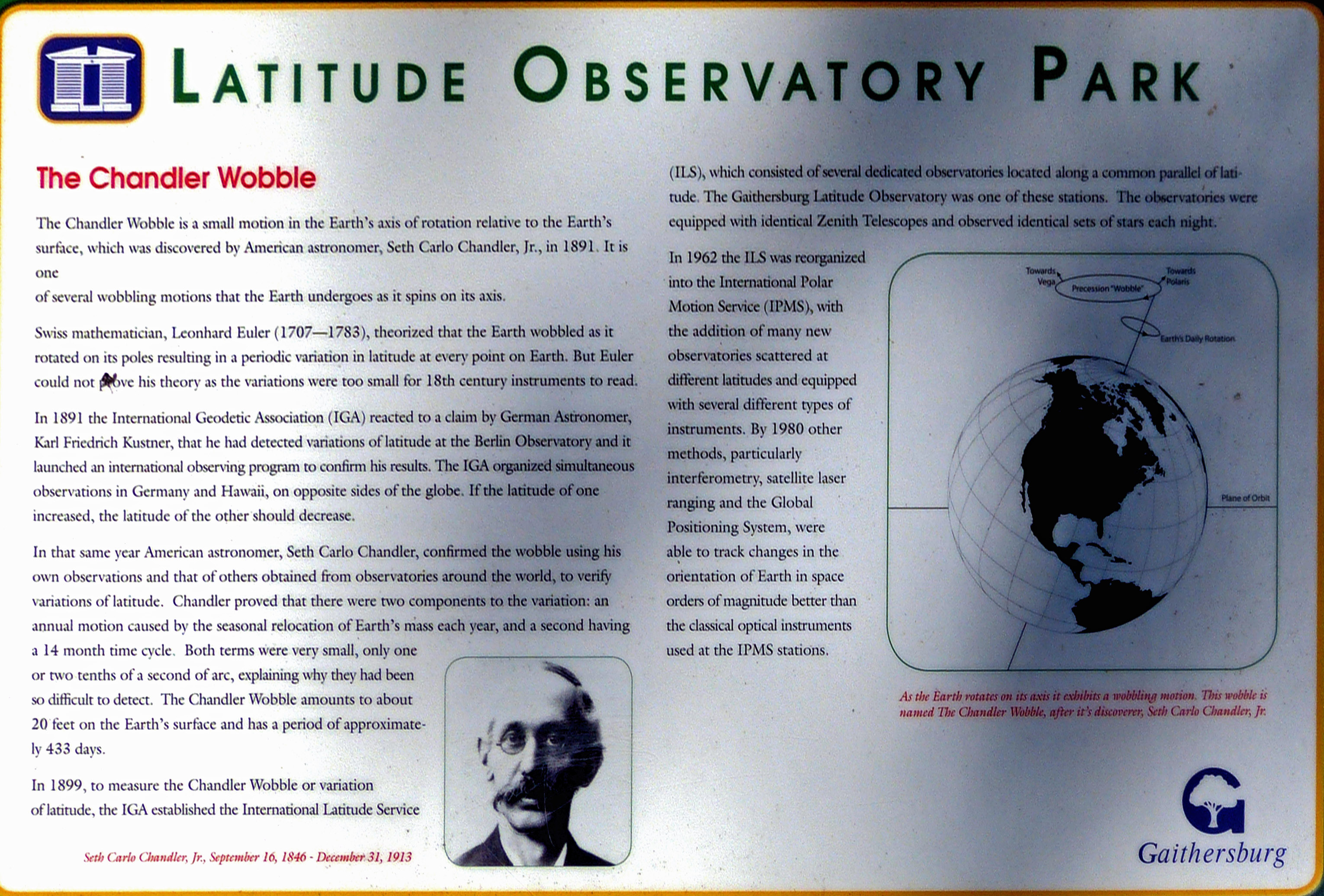
The Chandler Wobble
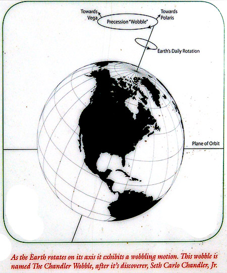
The Chandler Wobble is a small motion in the Earth's axis of rotation relative to the Earth's surface, which was discovered by American astronomer, Seth Carlo Chandler, Jr., in 1891. It is one of several wobbling motions that the Earth undergoes as it spins on its axis.
Swiss mathematician, Leonhard Euler (1707--1783), theorized that the Earth wobbled as it rotated on its poles resulting in a periodic variation in latitude at every point on Earth. But Euler could not prove his theory as the variations were too small for 18th century instruments to read.
In 1891 the International Geodetic Association (IGA) reacted to a claim by German Astronomer, KarlFriedrich Kustner, that he had detected variations in latitude at the Berlin Observatory and it launched an international observing program to confirm his results. The IGA organized simultaneous observations in Germany and Hawaii, on opposite sides of the globe. If the latitude of one increased, the latitude of the other should decrease.
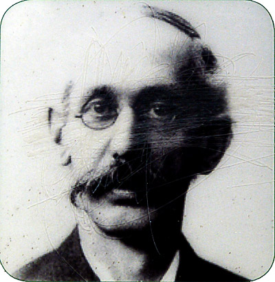
In that same year American astronomer, Seth Carlo Chandler, confirmed the wobble using his own observations and that of others obtained from observatories around the world, to verify annual motion caused by seasonal relocation of Earth's mass each year, and a second having a 14 month cycle. Both terms were very small, only one or two tenths of a second of arc, explaining why they had been so difficult to detect. The Chandler Wobble amounts to about 20 feet on the Earth's surface and has a period of 433 days.
In 1899, to measure the Chandler Wobble or variation of latitude, the IGA established the International Latitude Service (ILS), which consisted of several dedicated observatories located along a common parallel of latitude. The Gaithersburg Latitude Observatory was one of these stations. The observatories were equipped with identical Zenith Telescopes and observed sets of stars each night.
In 1962 the ILS was reorganized into the International Polar Motion Service (IOMS), with the addition of many new observatories scattered at different latitudes and equipped with several types of instruments. By 1980 other methods, particularly interferometry, satellite laser ranging and the Global Positioning System, were able to track changes in the orientation of Earth in space orders of magnitude better than the classical optical instruments used at the IPMS stations.
Location: N 39.13655, W 77.19930