The Beginning of the District of Columbia
George Gilpin's Map of Alexandria, 1798
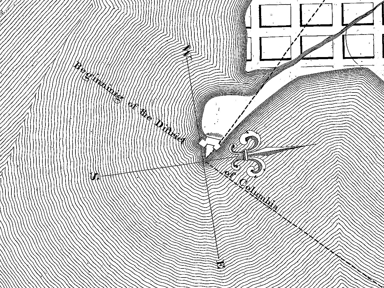
Beginning of the District of Columbia
In 1972, Richard W. Stephenson showed this map to the Arlington Historical Society and added these remarks:
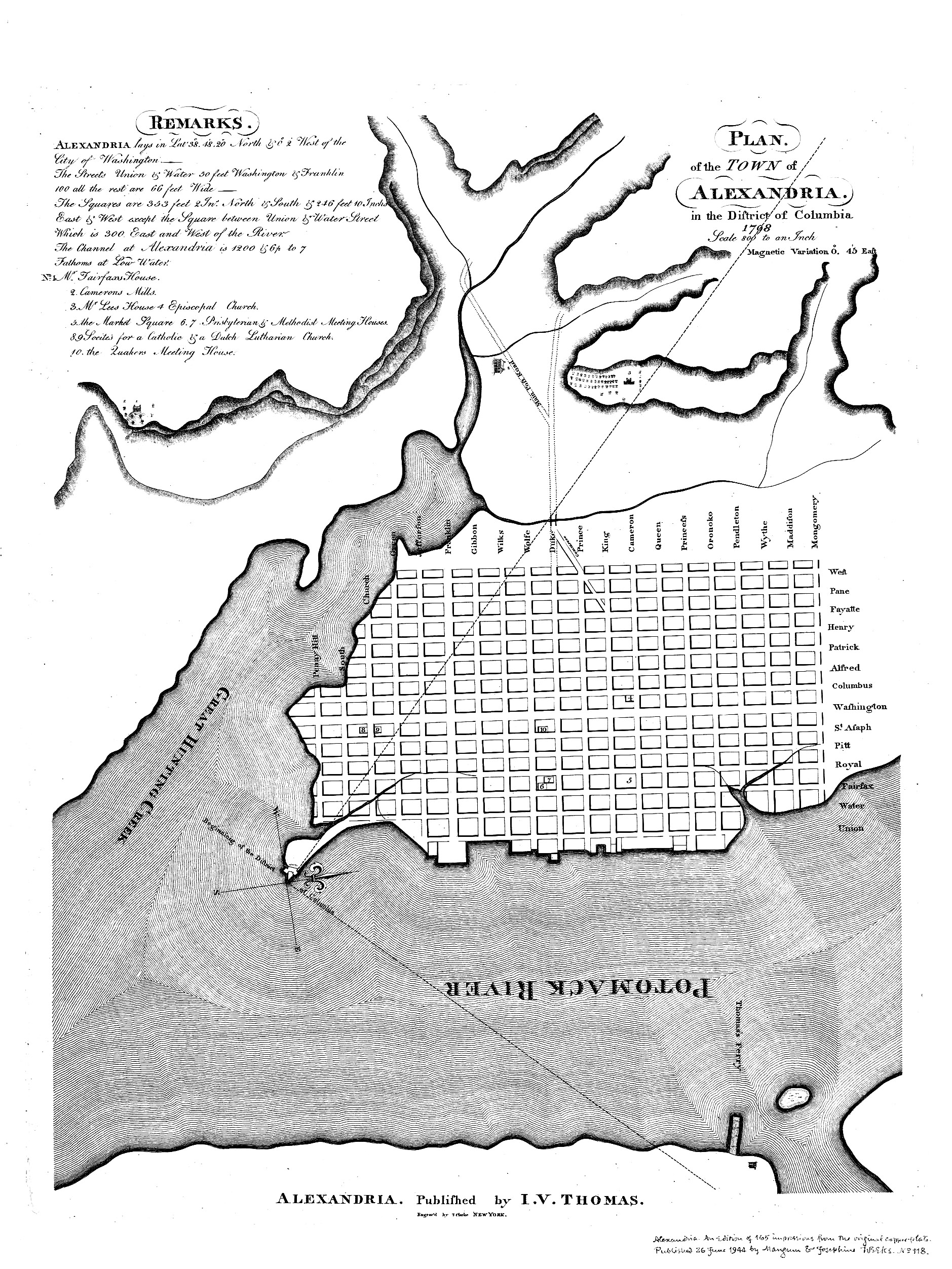
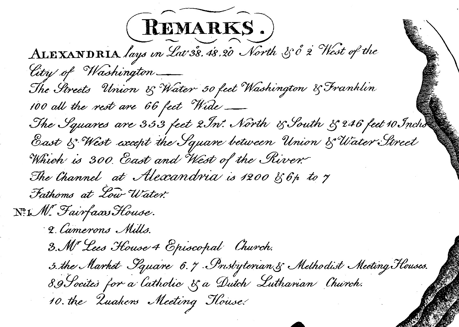
This map, drawn by Colonel George Gilpin in 1797, was published in Alexandria in 1798 by I.V. Thomas. The publisher apparently had difficulties in holding on to the original manuscript for he ran the following advertisement in the Alexandria Advertiser on September 21, 1797: “The subscriber some time since lent to one of his acquaintances a plan of the town of Alexandria, neatly drawn by Col. Gilpin—He cannot at present recollect who it was that borrowed it, but he begs that whoever has it in possession will be kind enough to return it. John V. Thomas.” The Gilpin/Thomas map is the earliest engraved plan of the city on file in the Geography and Map Division. It shows 14 East-West and 20 North-South streets, the “Main Post Road” entering the city via Duke Street, and the following ten important sites: “1. Mr. Fairfaxs House, 2. Camerons Mills, 3. Mr. Lees House, 4. Episcopal Church, 5. the Market Square, 6. 7. Prisbyterian [sic] & Methodist Meeting Houses, 8.9. Socitrs [sic] for a Catholic & a Dutch Lutharian \[sic] Church, [and] 10. the Quakers Meeting House.” — Alexandria – The Founding of a Colonial City by Richard W. Stephenson, 1972. (PDF)
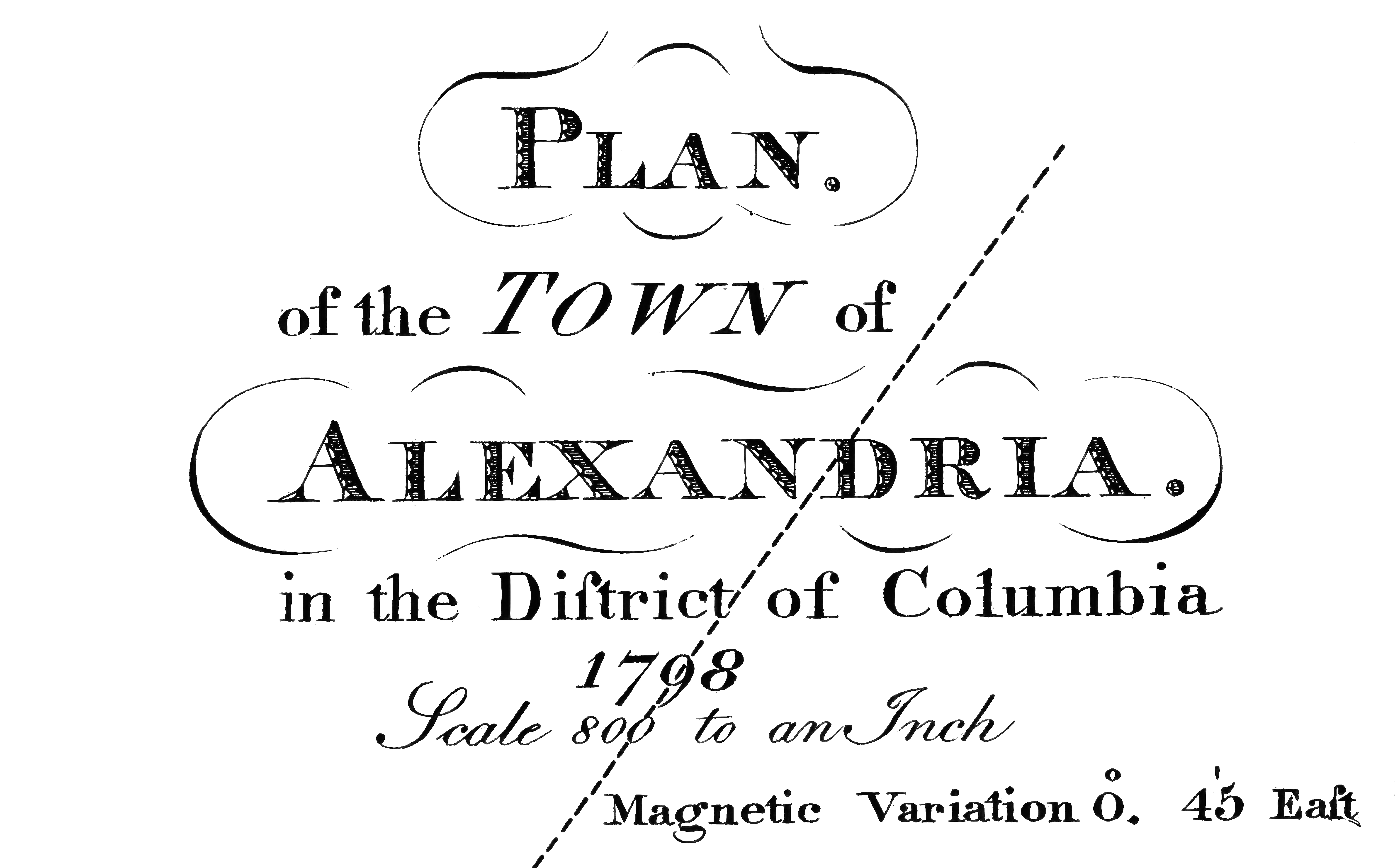
Plan of the town of Alexandria in the District of Columbia, 1798 by George Gilpin, engraved by T. Clarke and published by I.V. Thomas. These images are taken from the 1944 restrike by Mangum & Josephine which appeared in Alexandria an edition of 165 impressions from the original copperplate, published June 26, 1944.